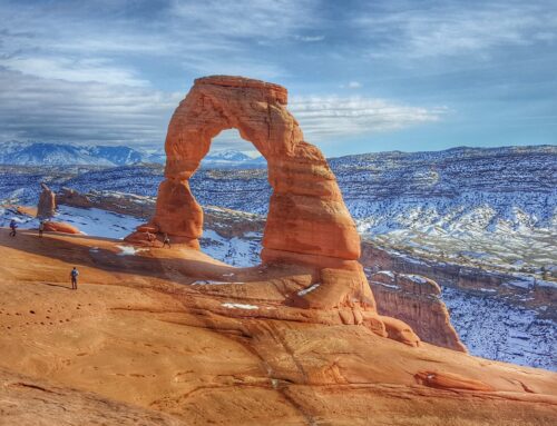
The La Sal Mountains offer wonderful opportunities for multiple use recreation in the wintertime including snowmobiling and snow biking. The isolated peaks reach heights of nearly 13,000 feet with expansive views of the red rock desert and Canyonlands National Park to the west, with the rocky San Juan Mountains of Colorado visible to the east. Read the following Snowmobiling guide to the La Sal Mountains for more information on this great destination.
With an average annual snowfall of 250″ per year, the La Sal Mountains receive considerably less snow than the Wasatch, Uintah Mountains or the Manti-Skyline, but still get enough to provide excellent powder conditions with an average base depth of around four feet of snow at mid elevations. The experience is a little “wild and woolly,” compared with many other areas in the state as
snowmobile tracks in snow
there are no groomed trails. Most of the riding is on snowed in forest and county roads, with off trail riding in meadows and high alpine basins.
The mountain range is exceedingly avalanche prone due to an abundance of steep terrain, and a shallow snowpack that is prone to the formation of weak layers. Users are encouraged to keep abreast of current snow and avalanche conditions on the web at www.utahavalanchecenter.org or by calling 435-259-SNOW (7669).
Riders should also carry appropriate rescue gear: beacon, shovel and probe, and know how to use them. If in doubt about your avalanche awareness or rescue skills, the Utah Avalanche Center also offers training courses in avalanche safety. Please contact us for more information.
Perhaps the best snowmobiling terrain is at La Sal Pass where there are an abundance of open, rolling meadows as well as high marking opportunities for all skills and abilities from short, low angle slopes to higher and steeper climbs. But again, many of these slopes are avalanche prone and riders should always be aware of current conditions and plan accordingly. To access La Sal Pass drive south of Moab 22 miles on US hwy 191 and then turn east on hwy 46 toward the town of La Sal. Drive through the town of La Sal and continue for about 5 miles before turning left on the Forest Service access Upper Two Mile Road and continue approximately 2 more miles to the trailhead and parking area for La Sal Pass (you’ll need to double check you mileages on this). From there you can ride snowmachines up the road to La Sal Pass, passing several open meadows on your way
The Geyser Pass Trailhead is accessed from Moab, off the La Sal Loop Road. The parking area is often congested and sees a host of users including cross country and backcountry skiers, snowshoers, snowmobilers, and sledders. This trailhead provides access to meadows atop Geyser Pass. Just over a mile up from the trailhead, a right hand junction leads into Gold Basin. Gold Basin is closed to motorized travel and the road dead ends in less than two miles. This road is also groomed for cross country skiing by the local nordic club, and the forest service would like to encourage motorized users to continue on to Geyser Pass to minimize conflict. Once at Geyser Pass, there are many connected meadows and rolling hills that offer excellent riding and boondocking opportunities. While it is possible to continue past Geyser Pass on the Dark Canyon Lake Road, it does pass under potential avalanche terrain not far from the top of the pass.
For a more remote experience, visit the mountains from the north out of Castle Valley. This provides access to Miners Basin, off the La Sal Loop Road, as well as Taylor Flat and Beaver Basin on the east side of the range. Keep in my mind that both Miner’s and Beaver Basin are avalanche prone, and a snowmobiler was killed in an avalanche in Beaver Basin in 2011.
To access these areas, take highway 128 up the Colorado River for 18 miles to a right turn for Castle Valley. Follow the road south for 13 miles to a junction with the the La Sal Loop Road. For Miner’s Basin, turn right on to the Loop Road and continue five miles to the signed turnoff and unload. Miner’s Basin is a rarely visited alpine nook, with open meadows and steep terrain accessed after snowmobiling up three miles of unimproved road.
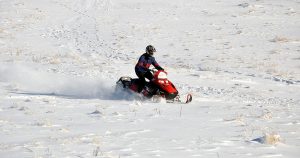
snowmobiler in snow
For Beaver Basin, continue on past the turnoff for the Loop Road a couple more miles toward the town of Gateway, and park at the end of the plowed and paved road near the dinosaur tracks. From here, follow signs and snow packed roads around the east side of the range into Taylor Flat and on up into Beaver Basin and vicinity.
The La Sal Mountains can provide a unique sledding experience but users need to be prepared for a remote setting without groomed trails, and avalanche awareness is key to navigating the range off of existing roads.
Moab Gear Trader is your local destination for information on Snowmobiling guide to the La Sal Mountains.


